Published by CNBC Real Estate | May 16, 2022
New technology from a Brooklyn-based nonprofit, First Street Foundation, is mapping the threat with house-by-house specificity.
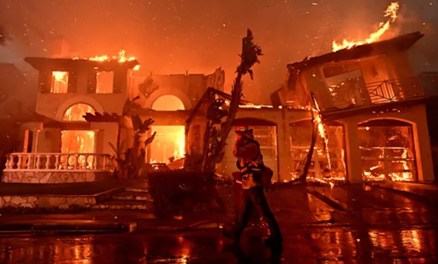
Raging New Mexico and California wildfires may offer an ominous outlook for a growing swath of America, and not just in the West.
Wildfire risk is increasing and its destruction is becoming ever more expensive. Of the wildfires that the National Oceanic and Atmospheric Administration has tracked since 1980, 66% of the damage has occurred in the last five years. Insured damage from wildfires last year totaled $5 billion, according to a Yale University report, marking the seventh consecutive year of insured losses above $2 billion.
Wildfire risk modeling is more crucial than ever to help protect lives and property, and new technology from a Brooklyn-based nonprofit, First Street Foundation, is mapping the threat with house-by-house specificity.
First Street uses everything from property tax data to satellite imagery and assigns a wildfire risk score that factors in construction type, roof type, weather and exposure to natural fuels like trees and grass.
“We calculate every individual property and structure’s risk across the country, be it a commercial building, or be it an individual’s home. What you’re able to see from that is that one home might have the same probability as another of being in a wildfire, but be much more susceptible to burning down.”
–Matthew Eby, founder and executive director of First Street Foundation
Certain homes may be more vulnerable because of their building materials, the defensible space around them or the roof type, for example. The company models the immediate risk to Americans’ homes and then adjusts for projected climate change.
“We can then use supercomputers to simulate 100 million scenarios of wildfire today, and then another 100 million scenarios 30 years in the future with the forecasted weather conditions,” Eby said.
First Street gives every home a unique score and unique probabilities of risk. It did the same for water threats, working with Realtor.com to put a flood score on every property on the home-selling website. That feature is now the second-most clicked map on Realtor.com, behind school district data on K-12 performance.
“The reaction to flood has been overwhelmingly positive. It’s really helpful in being able to make informed decisions and to understand what it is to protect your home,” said Sara Brinton, lead project manager with Realtor.com.
Potential buyers and homeowners who find their flood and fire scores on Realtor.com can click a link for more information on First Street’s site to find out how best to protect their homes.


